A Walk Around the Halkyns
A peaceful 5-mile walk across the Halkyns, following Ron’s Route on OS Maps. Big skies, 360-degree views, wildlife, reminders of the area’s mining past and a landscape slowly recovering from recent wildfires.
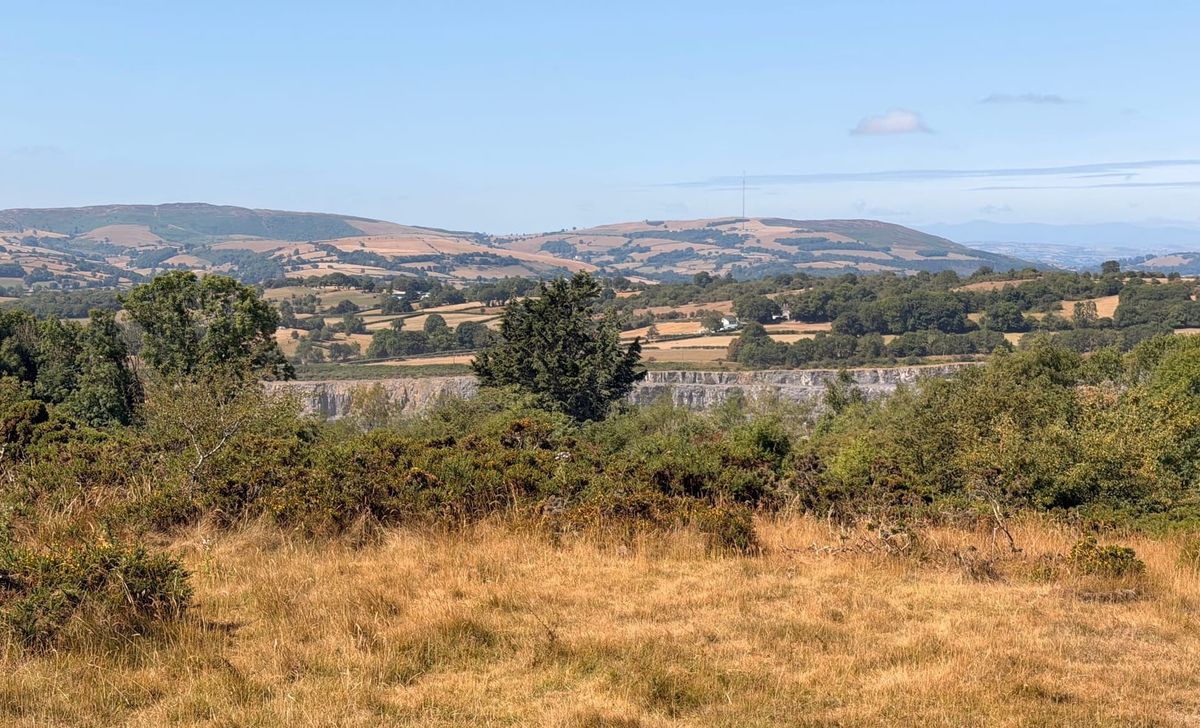
It’s strange, really. I’ve cycled around the Halkyns so many times, yet until Monday I had never walked there.
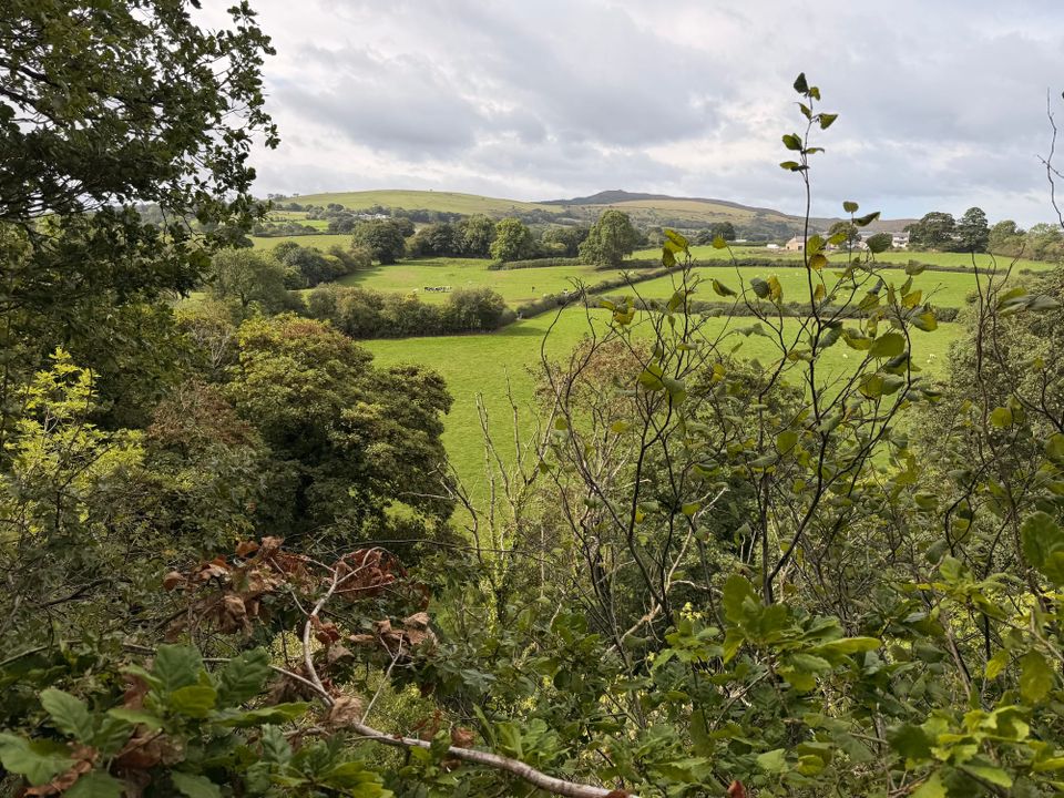
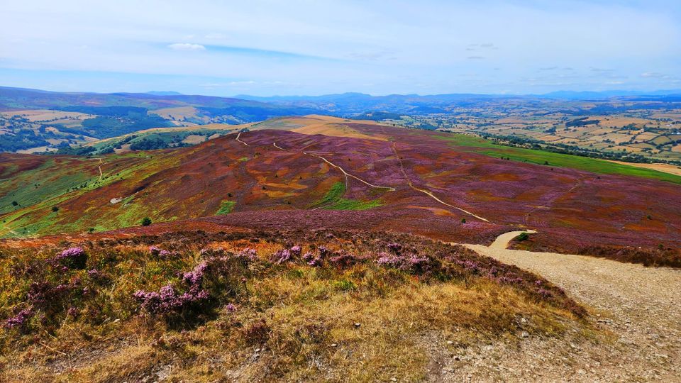
Once a busy lead-mining area, the Halkyns are now covered in heathland and gorse, with countless paths, rolling hills and reminders of their industrial past. Some of the quarries are still in use today.
Meeting my friend Doris at Rhes-y-cae, we set off to follow Ron’s Walk on OS Maps. It turned out to be an fantastic route.
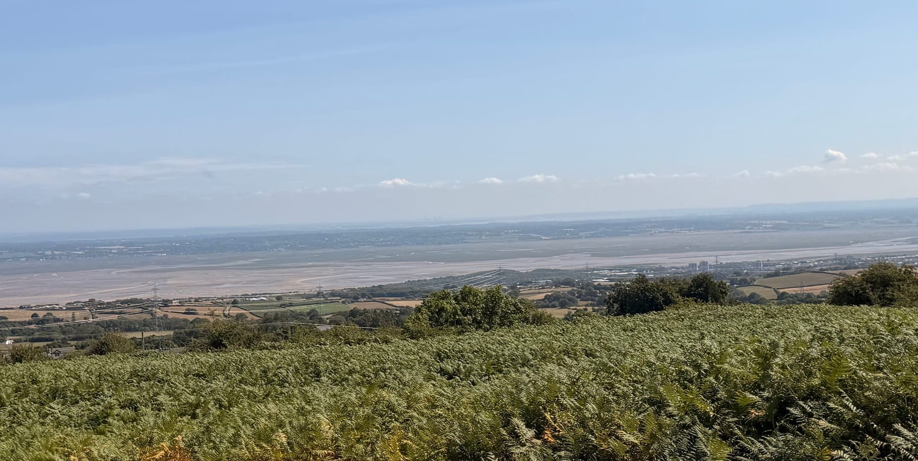
At one point we reached the top of a hill and had 360-degree views. The Clwydian Range stretched away in the distance, while in the opposite direction we could see across the Dee Estuary towards the Wirral and Liverpool.
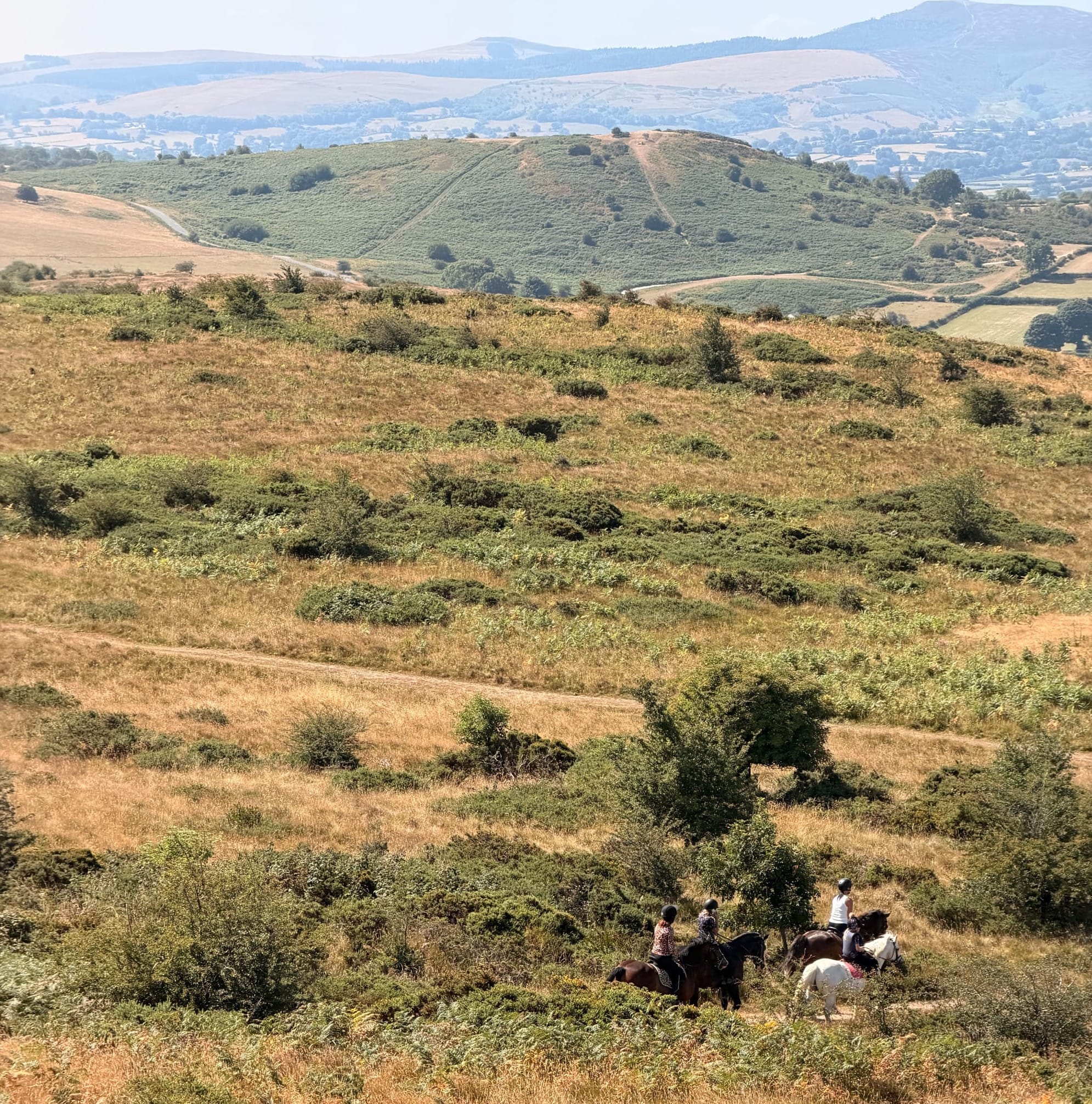
We also passed four horse riders, looking perfectly at home in the wide, open landscape.
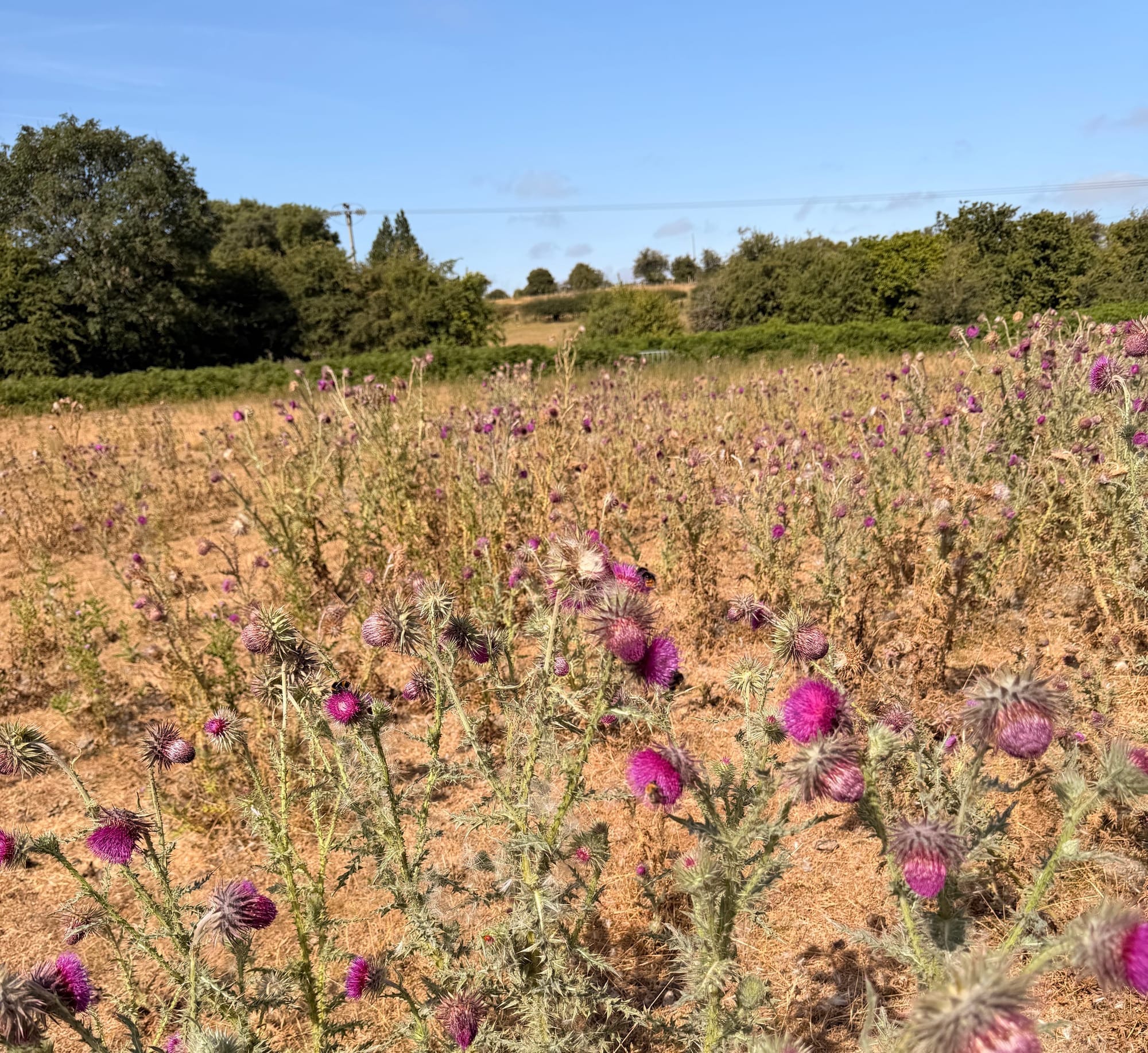
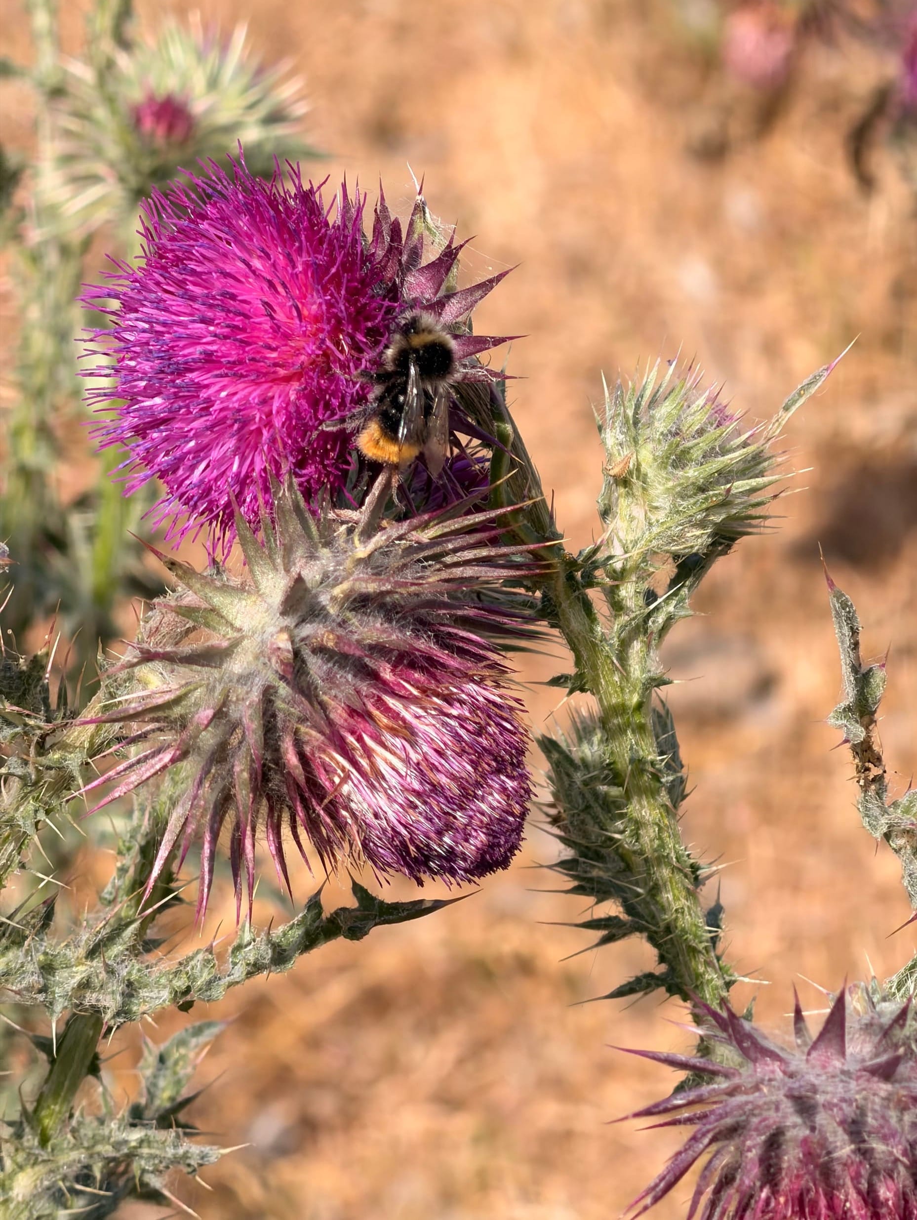
There was plenty to notice beside the paths too. A large patch of wild thistles was quite a sight, their vivid purple flowers busy with bumblebees. I also spotted a small orange butterfly resting with its wings closed, with one dark spot visible on each side. I think it may have been a small heath.
Just as I commented that we hadn’t seen many birds, a swift darted across in front of us. We also spotted a pied wagtail along the way.
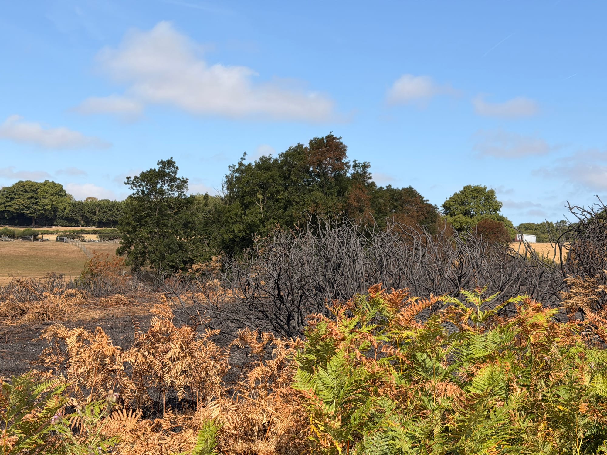
The weather was almost perfect for walking: blue skies, T-shirt temperatures and a cooling breeze, a welcome contrast to the intense heat of the previous week. Even so, the dry conditions were still very obvious. We passed through two blackened areas where the Halkyns had not escaped the recent wildfires, a sobering reminder of just how parched the landscape had become.
All in all, it was a stunning walk. It was so quiet up there, with just the breeze and the odd bird call.
Walk details
- Route: Ron’s Walk from Rhes-y-cae (OS Maps)
- Distance: 5.19 miles
- Time: 2 hours 24 minutes
- Ascent: 557 ft
- Descent: 561 ft
So, thank you, Ron, whoever you are, for sharing the route. We thoroughly enjoyed it.
Download the GPX file below to use the route on your own walking app or GPS device.
💜 Thanks for reading.
You’ll find more reflections, travel stories and practical ideas across the site.